National Wildlife Association

Protecting America’s Wildlife
The National Wildlife Refuge Association (the Refuge Association) works to protect America’s wildlife heritage by bringing a unique perspective and creative strategies to conservation. Refuge Association has created a powerful recipe for success by leveraging the world’s largest wildlife conservation program–the U.S. Fish and Wildlife Service’s 150-million acre National Wildlife Refuge System–and engaging other conservation nonprofits, private land owners and refuge Friends groups in safeguarding wildlife. By mobilizing citizens in support of conservation, generating support for wildlife conservation among decision makers, and creating mosaics of public and private protected lands, the Refuge Association is ensuring a future for wildlife across America.
 Our Mission
To conserve America’s wildlife heritage for future generations through strategic programs that protect and enhance the National Wildlife Refuge System and the landscapes beyond its boundaries.
By combining policy, landscape-scale conservation efforts, grassroots development and public education, the Refuge Association works to strengthen the ecological integrity of our national wildlife refuges, maintaining the diversity of American wildlife and plants for the future.
Our main objectives
- Mobilize Citizens in Support of Wildlife Build a comprehensive grassroots network of refuge Friends groups throughout the country that will lend their hands and their voices to support refuges and wildlife conservation on the local, regional and national levels.
- Give Wildlife a Voice Advocate for conservation by working with decision-makers to ensure the strength, integrity and vitality of the Refuge System, the U.S.
 Fish and Wildlife Service and other conservation programs.
 - Protect Wildlife Beyond Refuge Boundaries Engage government agencies, private landowners and conservation groups in efforts to safeguard vital refuge buffer zones and wildlife corridors, and prevent loss and degradation of habitat.
Engaging the public – Mobilizing citizens in support of wildlife
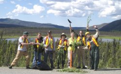
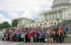
The Refuge Association mobilizes hundreds of volunteer refuge Friends groups and thousands of private citizens across the country to tackle the challenges facing our national wildlife refuges. Through training workshops, communications networks and partnerships, and advocacy, the Refuge Association generates support for refuges and vital wildlife habitats at the local and national levels. Our annual National Refuge Friends conferences and workshops have attracted nearly 4, 000 people from all states.
The Refuge Association’s Friends Affiliate program has expanded to almost 200 groups that have aligned with the Refuge Association’s priorities and dedicated themselves to building a national infrastructure for addressing the most pressing Refuge System needs.


|
Needles District: Canyonlands National Park (National Geographic Trails Illustrated Map) Book (National Geographic Maps)
|

|
Mojave National Preserve (National Geographic Trails Illustrated Map) Book (National Geographic Maps)
|